
🔍 Read the full analysis: Explore The Planet Through OlmoEarth V1.3 Embeddings on ThorstenMeyerAI.com

Get business pricing on tech for your team
- Business-only prices and quantity discounts
- Tax-exempt purchasing
- Multiple users, one account, clear invoices
TL;DR
The OlmoEarth team has released version 1.3 of its satellite embedding model, annual global data at 10-meter resolution and a browser-based explorer. The team reports that the model ranked highest in 20 of 27 evaluations, but those results have not been independently verified in the source material.
The OlmoEarth team has released version 1.3 of its satellite embedding model, accompanied by annual, global embeddings at 10-meter resolution and a browser-based explorer. The team says its model ranked highest on 20 of 27 evaluations; those performance results are the developers’ own findings and have not been independently verified in the supplied material.
OlmoEarth v1.3 processes yearly time series from Sentinel-1 radar and multispectral imagery from Sentinel-2 and Landsat. For each 10-meter pixel, it produces a 128-number vector, or embedding: a compact representation learned from the satellite data. Users can also use the first 64 dimensions as a smaller representation. The team says the precomputed global data is available through Source Cooperative.
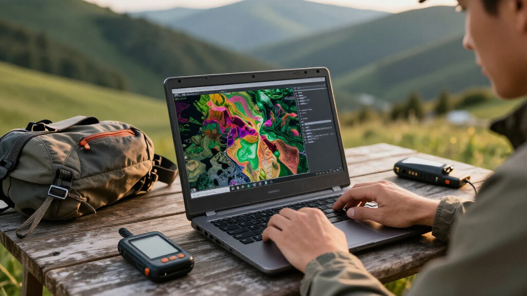
The release includes the OlmoEarth Embeddings Explorer, a browser tool for viewing the data as false-color maps, changing years and comparing the embeddings with underlying Sentinel-2 imagery. According to the release description, users can select a location to find visually similar places or add labeled points and train a small classifier. The tool is presented as requiring no sign-in or advanced technical knowledge, though the source does not detail access requirements for large-scale analysis.
In comparisons with AlphaEarth Foundations and Tessera v2, the team says OlmoEarth’s 128-dimensional embeddings led in 20 of 27 evaluations and its 64-dimensional version led in 18. The tests covered multiple tasks across six continents. The team also introduced PLANTEUR, a benchmark focused on crop types in tropical farming, and says its embeddings generalized best to locations not seen by the classifier during training. The technical report is identified as the source for full methods and results.
Lowering Barriers to Satellite Mapping
Satellite imagery can support work such as land-cover mapping, crop classification and monitoring landscape change, but processing large image archives can require substantial storage and computing resources. Precomputed embeddings offer a reusable starting point: rather than processing the imagery from scratch for each research question, users can train smaller models on the prepared representations or compare them across years.
That approach could make some mapping projects more accessible to teams without dedicated GPU capacity. It does not remove the need to check outputs against imagery, field observations or other reliable evidence. A map showing a change in embeddings indicates a difference in the satellite-derived representation; it does not, by itself, establish what caused that change.
The team says it has released the model weights, pretraining data and code. It estimates that reproducing the final pretraining run for OlmoEarth v1.3 Base would cost about $2,720 in rented H100 computing time. That is the developers’ estimate, not a guaranteed cost: provider prices, availability and setup can affect the amount. Public materials may help others inspect the work, while independent tests will be needed to establish how well its reported performance carries over to specific applications.
Products Worth Considering

Anker SOLIX C1000 Gen 2 Portable Power Station with 200W Solar Panel

Bose Lifestyle Ultra Soundbar and Ultra Subwoofer Bundle

Amazon Kindle Scribe Colorsoft 64GB with 11-Inch Color Display and Premium Pen, Graphite
As an affiliate, we earn on qualifying purchases.
From Fine-Tuning to Reusable Features
Earlier OlmoEarth use centered on fine-tuning a model for a particular task in OlmoEarth Studio, then running it over satellite imagery to produce a map. The team says that workflow requires GPU access and the ability to download and store imagery. Embeddings provide another path: imagery is processed into vectors that can then be reused across different mapping tasks.
The v1.3 release follows earlier versions. The developers report that training v1.3 used 53% of the computing time of v1.2 and 18% of v1’s computing time. They also report emissions equal to 50% of v1.2 and 22% of v1, and say v1.3 matched v1.2 in fine-tuning performance across research and partner labels. These are team-reported comparisons; the supplied material does not describe the emissions accounting in detail.
The release highlights an example from Madre de Dios, Peru, where maps compare changes around La Pampa during 2017–2020 and 2020–2025. It cites Amazon Conservation’s MAAP monitoring program for the history of forest loss and the 2019 Operation Mercurio crackdown. The source also references an Associated Press report from August 2026 about renewed navy patrols after prosecutors found mining had crossed into Tambopata. The example illustrates how embeddings may help identify changes for further investigation, not how they independently identify a cause.
““OlmoEarth’s 128-dimensional embeddings score highest on 20 of 27 evals and rank highest overall.””
— The OlmoEarth team
Independent Testing Still Needed
The central performance figures come from the OlmoEarth team. Although the release points to a technical report with methods and results, the supplied material does not include an independent replication of the 27 evaluations. How evaluation tasks were chosen, how performance varies between regions and how the model handles particular labels will matter to users considering it for operational work.
The release description also does not make clear how often global annual embeddings will be updated, what data gaps or quality limits apply in every location, or what access and computing demands large-scale use may involve. In the Peru example, apparent changes in yearly embeddings would need to be checked against imagery and monitoring or field evidence before attributing them to mining, recovery or another cause.
Testing the Explorer and Results
Users can inspect the released embeddings through Source Cooperative and try the browser-based explorer, according to the team. The technical report provides the stated route to the evaluation methods and complete results; model weights, pretraining data and code are also described as available. The next meaningful test is whether independent researchers can reproduce the reported comparisons and assess performance on their own regions and tasks.
For users planning applied work, a practical next step is to compare explorer outputs with the underlying satellite imagery and other relevant evidence before drawing conclusions. The source material does not specify a schedule for future embedding updates or announce a date for another release, so those points remain open.
Key Questions
What did the OlmoEarth team release?
The team released OlmoEarth v1.3, annual global satellite embeddings at 10-meter resolution, and a browser-based tool for exploring them.
What is an OlmoEarth embedding?
It is a 128-number representation for each 10-meter pixel, produced from yearly Sentinel-1, Sentinel-2 and Landsat data. The first 64 dimensions can be used as a smaller representation.
Did OlmoEarth v1.3 independently prove it is the best-performing model?
No independent verification is included in the supplied material. The claim that v1.3 led in 20 of 27 evaluations comes from the OlmoEarth team.
Can the embeddings identify why a landscape changed?
Not on their own. They can show differences in satellite-derived representations across years, but identifying causes such as mining requires additional evidence and verification.
Where can users access the data and explorer?
The team says the precomputed embeddings are available through Source Cooperative and describes a browser-based OlmoEarth Embeddings Explorer. The source does not specify every access or computing requirement for large-scale use.
Primary source: Hugging Face · via ThorstenMeyerAI.com